Topographical Survey
Our topograhical survey offers detailed mapping, planning support and regular reports to assist your project.

Topographical land survey
A topographical survey is the process required to create a full and accurate terrain map that displays the positions and elevations of significant natural and man-made features throughout a site.
Our topographic surveying services include:
- Detailed Mapping: We measure building footprints, boundaries, above-ground features (including manholes, surface changes, and walls), trees, and levels, collecting all the details essential for a thorough site understanding.
- Planning Support: Our surveys form the foundation for site feasibility studies, planning procedures, and development initiatives. We provide accurate data so you can navigate regulatory requirements, and carry out project strategies with confidence.
- Reports: We deliver comprehensive reports in both AutoCAD and PDF formats, providing accessibility across platforms. Our reports can also be shared in 2D or 3D if required.
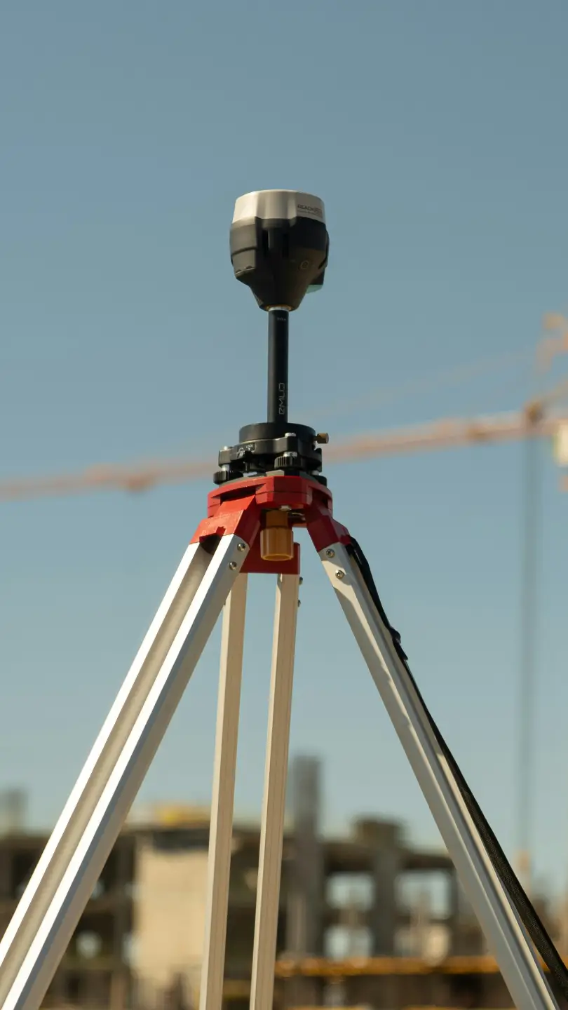
- Technology: For all topographic and site surveys, we use the most recent measurement equipment and software to give the highest level of accuracy for the gathering and processing of data.
- Diverse Project Scope: To meet a wide range of project requirements, our expertise spans across many sectors including residential and commercial properties, roads, schools, industrial estates, and landscape/garden designs.
- Accuracy: Because our surveys are linked to ordnance survey gps coordinates, they can be fully integrated with national mapping systems, maintaining spatial reliability throughout the entire process.
- Control Standards: To maintain the highest levels of survey accuracy and reliability, we use a tight control network approach that includes suitable closed and adjusted traverse techniques.
We mostly complete projects in Kent, East & West Sussex, Surrey and London. In land and topographical surveying, we have extensive experience. We use the newest tools and techniques to complete our work effectively. For all of your topographical survey needs, our experienced team can provide guidance and solutions.
Quickly and easily create a quote for your project.

Start with a few details and we'll put together a quote for you.